01
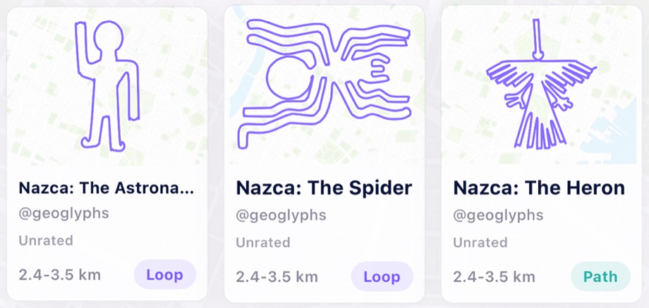
Browse route art
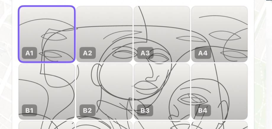
Explore featured shapes, Nazca-inspired designs, letters, symbols, themed collections, and community creations.
GPS art for real streets
Turn ordinary walks into map-sized drawings.
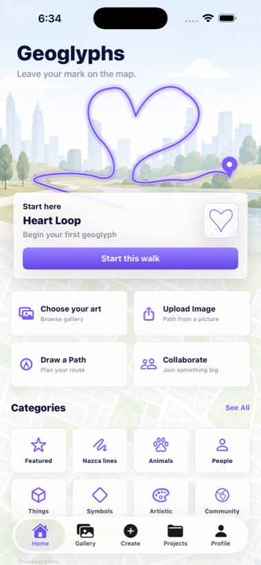
Choose a line-art route, fit it onto nearby streets, then walk the path outdoors to trace the design with your own movement.
Available now for iPhone
How it works
Explore featured shapes, Nazca-inspired designs, letters, symbols, themed collections, and community creations.
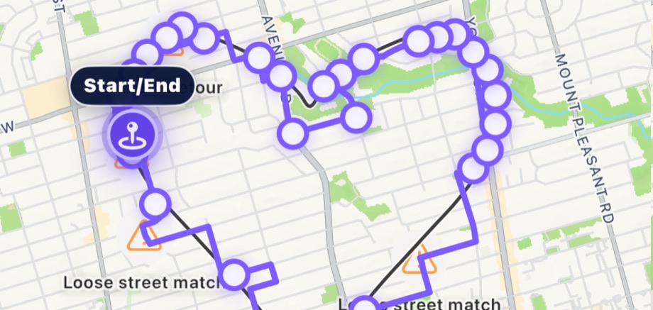
Use MapKit to place the design nearby, then move, scale, rotate, reverse, and preview the walk before you start.
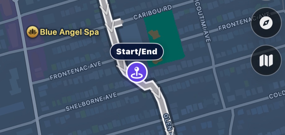
Follow the route, record progress, pause when needed, save your walk, and return later to finish the drawing.
Walked in the wild
These are completed Geoglyphs shared by walkers. Each route is drawn again here from its real GPS trail.
Loading shared walks...
Make your own
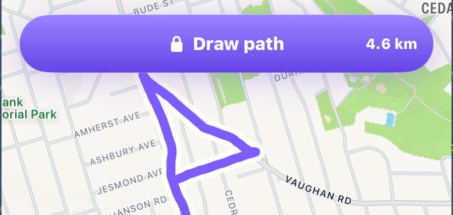
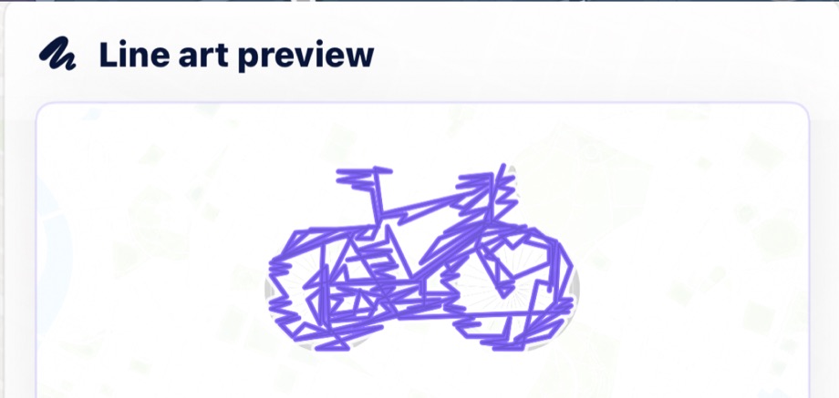
Draw a custom path from scratch or convert a photo into route art. Finished walks become saved projects, shareable map cards, and, when you choose, community geoglyphs other walkers can discover.
Made for the whole journey
Browse, draw, or convert a picture. Then place, scale, rotate, reverse, and preview the route on nearby streets.
Follow the route outdoors, record progress, pause when needed, resume later, and optionally write the walk to Apple Health.
Save completed projects, replay the drawing, create luminous share pages, and publish selected work to the community.
Location and sharing
Geoglyphs uses location to help place, follow, and record outdoor routes. Precise route coordinates are what make GPS art work, and you decide when to save, share, or publish a route.
Your city is the canvas
Download Geoglyphs and turn your next walk into something only you could draw.
Download on the App StoreThe first 1,000 downloads are free. After that, Geoglyphs will be $1.